
As a local runner, I’m often asked about good running routes or trails. I have a variety of favorite running sequences that mostly fulfill mileage goals set by a predetermined training schedule. Mornings are easy. I lace up my sneakers, walk out my front door, start my GPS watch, and run. These routes are not publically signed or considered part of a local asset; they are simply a selection of roads and loops that are available to anyone, but unknown to most. I have come to realize that this area is really just open to whatever your days’ goals are. It’s not necessary to seek designated running areas to find flow and ease of travel. Any runner is able to start from any place, and come away with a special experience without much premeditation.
With this said, there are a few public trails that are worth noting, and should be at the top of your must-run list. Here they are:
- Monadnock Mountain, Lemington, VT: This is a hiking trail that summits Monadnock Mountain (not southern, NH — think Northeast Kingdom). This trail is approximately 2.25 miles to the peak with 2,075 feet of elevation gain. Your reward for running this well-maintained, rocky trail to the top is a fire tower view, which provides 360 degree display of the Connecticut River valley, the bordering states of New Hampshire and Maine, and points north into Canada. The trail head is located in a gravel pit just north of the Bridge Street Bridge, on VT Route 102.
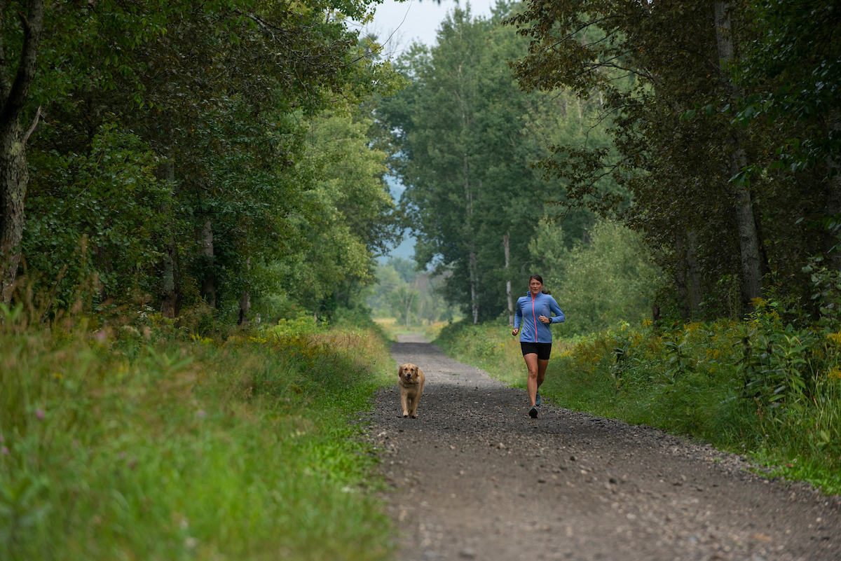
- The Rail Trail, Colebrook, NH: The rail trail is a reclaimed rail bed that may be accessed from multiple points along Route 3 traveling north from Colebrook. Its starting point is located just off Bridge Street near the River Walk, with eight miles of trail stretching from Colebrook to West Stewartstown. While this gravel trail wins points for accessibility and its appropriateness for all ability levels, it is shared with all modes of recreation, and the lack of variety can make this flat course a bit uninteresting. The bright spot of this trail is the river valley feel, and the farming roads that spur off into the fields and other areas.
- The Cohos Trail, Stewartstown, NH: This section of Cohos trail is perfect for off-the grid trail running. Escape into the woods and experience a variety of grassy and gravel terrain that will challenge you with a subtle ascent of just over 800 feet. Starting at campsite 11 at Coleman State Park, follow the mowed trail and the yellow hash marks along the Cohos Trail, which merges with the snowmobile trail. This trail connects with Rusty’s Road, at which point you will take a right where the grassy trail intersects with the well-worn ATV trail. Descend Rusty’s Road, and turn right at the pavement onto Diamond Pond Road, bringing you back to Coleman State Park.
- Table Rock and Sanguinary Ridge Trail, Dixville Notch, NH: Table Rock is an iconic hiking location and is well-known to many. In my opinion, the real magic happens when you ascend Table Rock by accessing the short, steep scramble that starts just east of the Balsams Resort entrance (trailhead is signed). After testing your mental fortitude by walking out on the ledge and taking in the notch view from Table Rock, continue to Three Brother’s Trail along the Cohos Trail. This gradual descent showcases waterfalls, shear ledges, and mossy terrain. Once you’ve arrived at the Dixville Wayside State Park, look for the cemetery of the early settlers. Here you will see markings for the Cohos Trail that will lead you across Route 26 to the Sanguinary Ridge Trail where you will start a second climb. There will be a number of lookouts along the way, and the real treat is the shale covered face that transports you from the wilderness experience to something completely different. Sanguinary Ridge Trail will bring you back to the hotel entrance, where you started.
~ Contributed by Bridget C.G. Freudenberger